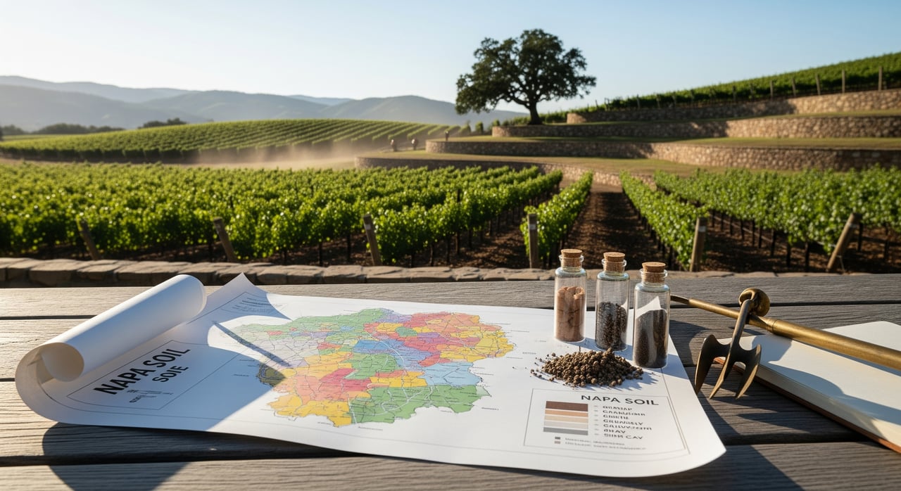
Curious what a soils map can reveal about a parcel in Oakville or Rutherford before you schedule field work? If you are weighing vineyard potential, septic feasibility, or building costs, the right map can give you a quick, useful picture. You will learn how to pull a USDA soils map, what each key attribute means locally, and when to bring in testing and consultants. Let’s dive in.
Why soils matter here
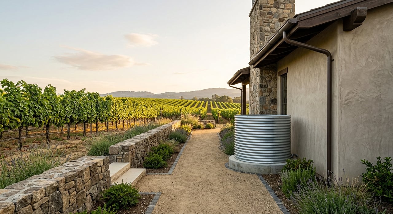
Oakville and Rutherford sit on Napa Valley’s central benches and valley floor, where soils come from historic river and alluvial deposits. Many areas feature loamy textures with gravel that drain well, which is favorable for vines and often for on-site sewage where depth to groundwater is adequate. Small changes in texture, depth, and slope can shift irrigation needs, excavation costs, and erosion risk. In wine circles, Rutherford is known for “Rutherford Dust,” a qualitative term linked to certain free-draining textures that shape wine style, as summarized by Napa Valley Vintners.
Pull a soils map in minutes
Use the USDA Natural Resources Conservation Service Web Soil Survey. It is the authoritative source for Napa County soil maps and interpretive tables.
- Go to the USDA NRCS Web Soil Survey.
- Enter the property address, then draw your AOI (Area of Interest) around the parcel.
- Open the Soil Map and click each polygon to view the Map Unit name and details.
- Review “Soil Properties and Qualities” and the “Suitabilities and Limitations” or “Interpretive” sections for uses like septic, building, and roads.
- Export the full PDF Soil Survey report for your files.
Tip: Treat WSS as a screening tool. County approvals still require site-specific testing and professional reports.
Read the map like a pro
Map unit name and symbol
This is the key to everything. A map unit can include several component soils and small inclusions, so always open the full description, not just the label on the map. Each description lists composition percentages and attributes that influence drainage, excavation, and planting.
Texture and permeability
Texture tells you if a soil is coarse or fine. Coarser soils with sand and gravel drain quickly, which can support vine balance and reduce foundation moisture, but may lower available water for landscaping. Finer textures can hold more water and may show shrink-swell behavior that matters for foundation design.
Depth to restrictive layer or bedrock
Depth controls root penetration, tree anchoring, and how hard it is to trench utilities or footings. Shallow soils can add excavation cost and limit vine rooting depth. The map unit description lists typical depth ranges to restrictive layers.
Drainage class and hydric soils
Drainage classes range from well drained to poorly drained. Poor drainage can affect septic feasibility, flood risk, and plant selection. Hydric soil flags can signal wetland-related constraints and permitting considerations.
Available water capacity (AWC)
AWC influences how often you irrigate vines and landscaping. Lower AWC soils can produce vine stress that may be desirable for certain varieties when managed well, while higher AWC can support more vigorous growth and require canopy management. Use AWC as a planning guide, then validate in the field.
Slope and erosion risk
Slope appears as a range in many map units. Steeper areas can increase grading costs and erosion risk, which may trigger mitigation in the permitting process. On benches and toes of slope, look for transitions where textures and erosion potential change across short distances.
Local patterns to watch
- Alluvial loams and gravelly benches. Much of Oakville and Rutherford features loamy, well-drained soils with gravelly layers that support premium viticulture and can be favorable for on-site sewage where other conditions are met.
- Clay lenses and perched water. Even within a single block, pockets of finer material can slow drainage and affect root vigor, irrigation scheduling, or septic layout.
- Depth changes over short runs. Depth to gravel or bedrock can vary yard to yard, which influences vine rooting, trenching cost, and foundation choices.
- Valley floor wet spots. WSS hydric indicators or somewhat poorly drained classes can point to seasonal saturation and additional permitting steps.
- Slope breaks from bench to foothill. As you approach the Mayacamas or Vaca sides, slope increases can elevate erosion concerns and grading complexity.
What a soils map can and cannot tell you
Useful insights you can rely on for screening
- General drainage tendencies that inform septic screening and landscape drainage.
- Approximate depth to restrictive layers that signal excavation difficulty and potential root depth.
- Texture and permeability classes that hint at irrigation needs and expansive soil risk.
- Slope ranges that affect erosion and grading costs.
- Hydric soil presence that may signal wetland or permitting constraints.
Situations that need on-site testing
- Septic systems. Napa County Environmental Health requires percolation tests and professional evaluation for approvals.
- New construction or major grading. Geotechnical reports with lab testing establish bearing capacity and shrink-swell potential.
- Vineyard development. Soil pits and block-level sampling support rootstock choice, drainage design, and layout.
- Recently filled or graded sites. Imported fill can change near-surface conditions beyond what the map shows.
Step-by-step: your efficient workflow
- Run a WSS report early for any target parcel.
- Walk the land with the map in hand to confirm slopes, low points, and soil transitions.
- If you plan septic or building, schedule percolation testing and a geotechnical investigation with licensed professionals.
- For vineyard planning, engage a viticulture consultant or UC Cooperative Extension for soil pits and sampling.
- Coordinate with Napa County Environmental Health and Planning, Building and Environmental Services to understand permitting requirements.
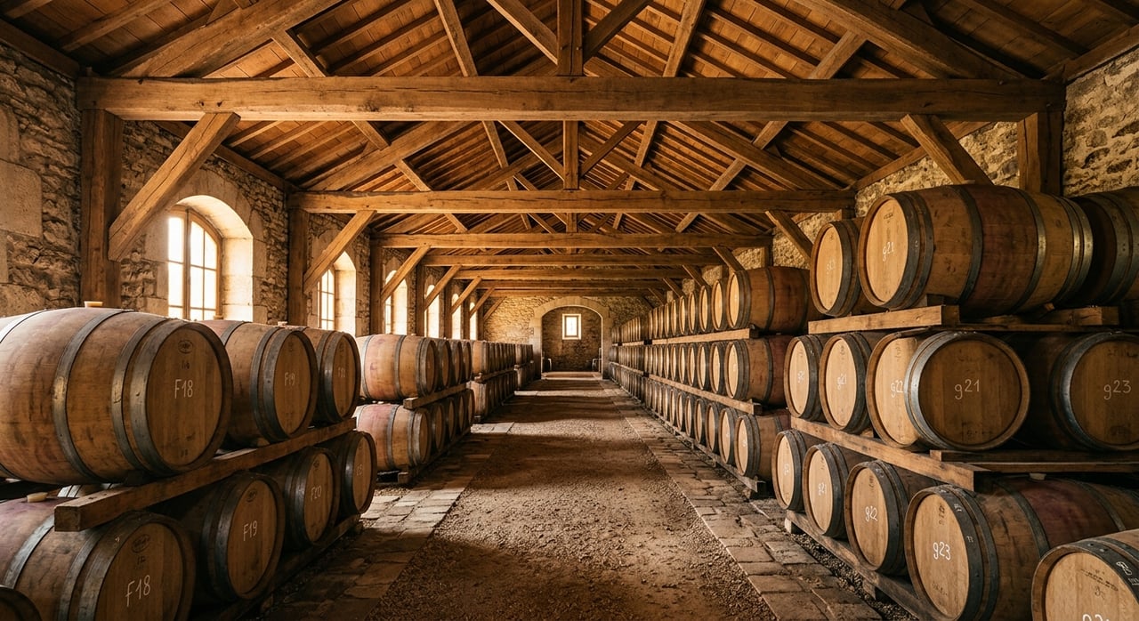
Vineyard context in Oakville and Rutherford
Oakville and Rutherford are known for Cabernet Sauvignon and other varieties that respond well to well-drained, moderately vigorous soils. “Rutherford Dust” is a shorthand used by wine professionals to describe how certain local textures and mineral profiles influence wine character, as noted by Napa Valley Vintners. Map data on drainage, depth, and AWC can guide early vineyard decisions. Final planting plans still rely on soil pits, management goals, and site-specific advice.
Trusted resources
- Use the USDA NRCS Web Soil Survey to map your parcel and generate interpretive reports.
- Read AVA overviews from Napa Valley Vintners for context on Oakville and Rutherford terroir.
- Explore soil and vine management guidance through UC ANR and UC Davis Viticulture & Enology.
- Check regionwide geologic hazard context via the California Geological Survey.
Ready to evaluate a parcel?
If you are weighing vineyard potential, septic feasibility, or development scope in Oakville or Rutherford, a clear soils plan can save time and protect value. Our team pairs technical land advisory with discreet, high-touch service to help you make informed decisions. We can run a preliminary WSS map, coordinate the right consultants, and guide you through the next steps.
Work with a trusted local specialist. Contact Unknown Company to start a focused, confidential conversation.
FAQs
What is a soils map and why does it matter for Oakville and Rutherford buyers?
- A soils map from USDA NRCS outlines map units with attributes like texture, drainage, depth, and slope that affect vineyards, septic, foundations, and permitting.
How reliable is the NRCS Web Soil Survey for septic approvals in Napa County?
- WSS is a screening tool only, and Napa County Environmental Health relies on on-site percolation tests and professional evaluation for septic approval.
What does the term “Rutherford Dust” mean in soil context?
- It is a qualitative viticulture term tied to certain free-draining textures and mineral character associated with Rutherford, referenced by industry groups like Napa Valley Vintners.
How do I export a printable soils map for a listing or due diligence?
- In the Web Soil Survey, draw your AOI, open the Soil Map, review unit descriptions, then use the “Export” or “PDF” function to generate a Soil Survey report.
Which soil traits are often favorable for vineyards in Oakville and Rutherford?
- Well-drained loams with moderated vigor and adequate rooting depth are commonly favorable, but final planting plans require soil pits and site-specific consulting.
When should I hire a geotechnical engineer or viticulture consultant?
- Hire geotechnical help for any new build or major grading, and bring in viticulture expertise when planning or replanting vines to tailor rootstock and block layout to site soils.